Hi, I live in Lelystad and it seemed to me like the city bus service (since September 4 in use) to make omsi. Now I am not so familiar with the editor. I know how to place buildings, text on signs must change. but not how to make roads, lines and timetables. Can someone help me for 1 month so i can learn it.
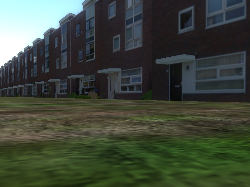
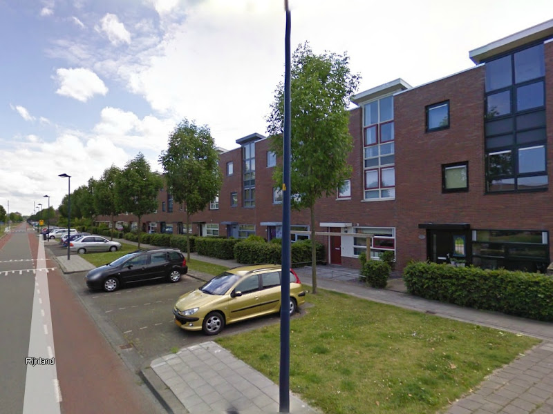
This includes information about Lelystad:
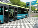
Since 4 September rides Arriva in Lelystad. They change the lines en stops. now there are 6 regular lines and 1 rushhour line.
Here you can see the map FAQ:
are all lines already done before he is released?
- Spoiler:
No, first there come a alpha and beta version. The alpha with one line and (maybe) several bugs and the beta is an test version with 2 or 3 lines
what is the average time of a line?
- Spoiler:
The line goes from a point, across the central bus station to a point. And this will take 30 min. in rushhour there rides extra busses form a point to the central bus station and this will take 15 min.
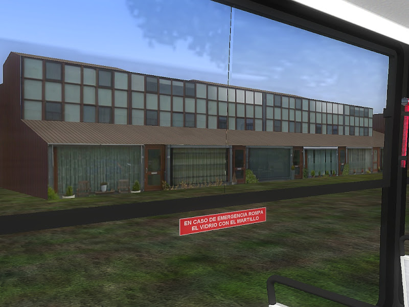
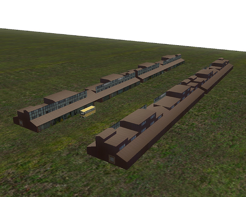
What is the actual status of the map?
- Spoiler:
I want start over a view days
In lelystad the busses ride at the and a other line. goes this in the map automatic or do we change it manualy?
- Spoiler:
Manualy
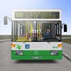
witch type of bus drive in Lelystad and come dat bus in the map to?
- Spoiler:
In Lelystad they drive with the wright commander and no. i make surely a repaint for the mercedes bus.
I hope that someone can help me. I suggest really appreciate